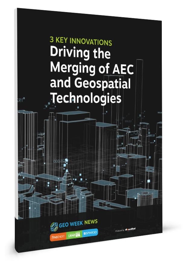
 The domains of AEC and geospatial information and positioning have existed in parallel but separate paths, making it challenging to get an entire picture of the features of the natural landscape, existing as-built infrastructure and potential future construction sites. Aiming to reduce the chasm between these fields, several key innovations are helping to bring them closer together. On this theme, this report investigates the following:
- Improvements in 3D visualization for external stakeholders
- Putting as-built structures in context
- Pioneering common data environments for integrating data
At Geo Week, we are focused on helping the industry navigate the fundamental technologies that make spatial and 3D data collection and interpretation possible, as well as the tools that are helping to bring different types of information together to improve workflows.
Fill out the form on this page to read our report and learn how the industry is being shaped by the intersection of AEC and geospatial technologies

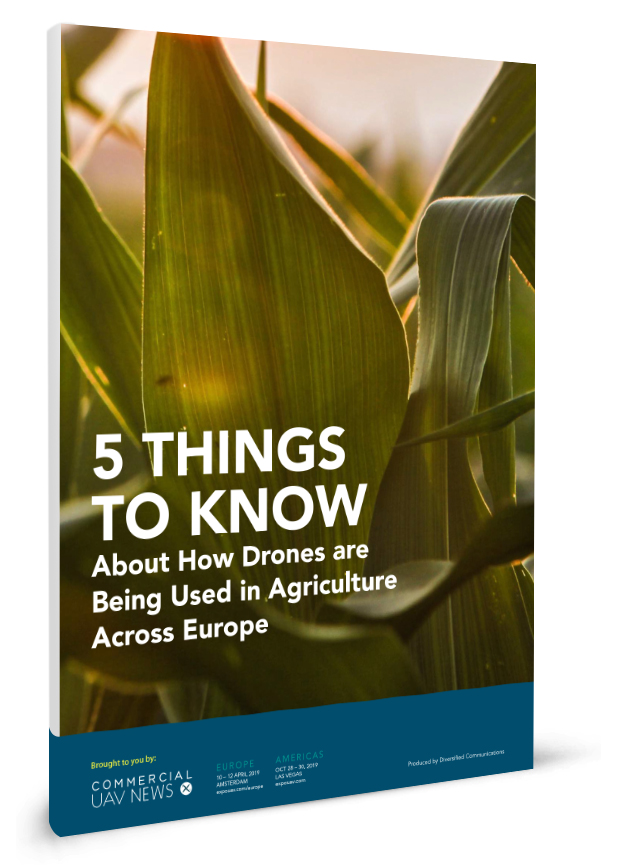
 hile drones are making a real difference for growers in the present, they are also opening up incredible opportunities for the future. This new report from
Connect with us